Hiking Trail: Afgrunden Vissenbjerg
The Vissenbjerg area, especially its southern part, is a majestic staircase construction in the landscape.
Welcome to the Staircase Landscape of Vissenbjerg Bakker - The Abyss
Parking at Lergyden, 5492 Vissenbjerg.
View on Google Maps.
From here, you can easily access the starting point for your hike.
Facilities: During your hike, you can enjoy these facilities:
- Tables/Benches
- Fire Pit
- Shelter
The Vissenbjerg area, especially its southern part, is a majestic staircase construction in the landscape. Flat-topped hills form the impressive steps in this natural wonder. At the highest step, 120 meters above sea level, lies the town of Vissenbjerg. A journey southward leads down a steep, forest-clad slope to the next level, 40 meters lower.
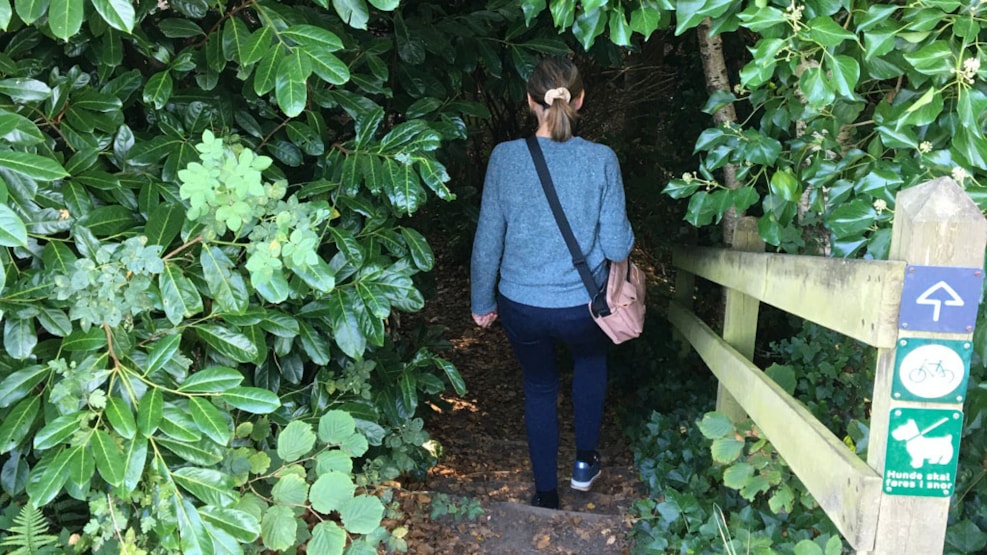
Hiking Trails and Terrain The trails on each "landscape staircase step" are easy to navigate, while the trails between the steps are steep and challenging. This variation in terrain offers a unique hiking experience.
Geological Area of Interest and Natural Richness Vissenbjerg Bakker has been designated as a geological area of interest, rich in natural beauties. Experience forest, lake, springs, clay pits, grazing areas, viewpoints, and gorges. "The Abyss," the largest gorge in the area, is a testament to the area's dynamic history and offers varied nature and rich birdlife.
More Hiking Routes:
All five hiking routes start from the same recommended starting point and follow well-laid paths.
- Yellow Route: 2.5 km
- Red Route: 3 km (Climb Mountains)
- Blue Route: 3 km
- Green Route: 4 km
- Heart Path: 3.5 km
At the parking area by Møllesøen and at the parking area by the Clay Pits, you will find paper folders about the area.
Download the folder about Vissenbjerg Bakker (PDF).