© Foto:
Sønderhøje - Kås - 1,4 km
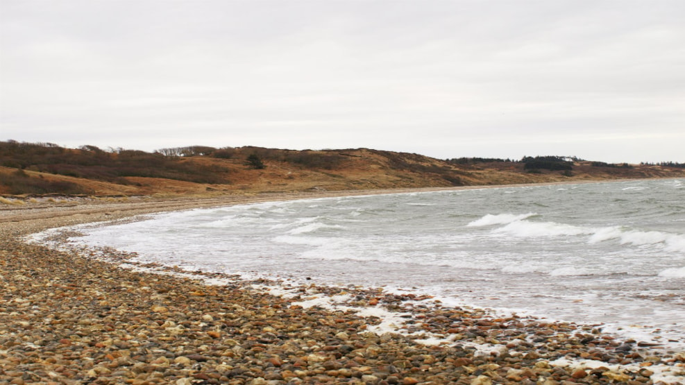
P: Sildedrættet (N 56°36.46’, E 8° 41.38’)
L: 1,4 km
Marking: Yellow
Sildedrættet (Danish for herring haul) is a public beach from where the locals used to catch herrings – hence the name. The route continues up to Sønderhøje, which consists of three large Bronze Age burial mounds. From Sønderhøje you have an extensive view of the surrounding landscape.